Guanacaste looks compact on a map, but the drive times add up. Tamarindo is well over an hour from the airport, Nosara is two or more, and Santa Teresa takes most of a day. The times below are typical door-to-door drives in normal conditions, taken from published travel and transport sources rather than an optimistic map app. Add time for high-season afternoons, rain and stops.
Drive times from Liberia airport (LIR)
| Destination | Distance | Typical drive | Road notes |
|---|---|---|---|
| Liberia town | 12 km | 15–20 min | Highway 21 |
| Playas del Coco, Playa Hermosa, Ocotal | 20–35 km | 30–45 min | Paved, via Sardinal |
| Papagayo Peninsula (Four Seasons, Andaz) | 25–45 km | 30–60 min | Smooth and paved; the peninsula road is private and gated |
| Playa Flamingo | 45–60 km | 1 h – 1 h 15 | Paved, via Belén and Huacas |
| Playa Conchal, Brasilito | 60–70 km | 1 h 15 – 1 h 30 | Paved |
| Tamarindo | 65–77 km | 1 h 15 – 1 h 30 (up to 2 h in peak traffic) | Paved, reliable year-round |
| Rincón de la Vieja (Las Pailas) | 35–40 km | 45 min – 1 h 15 | Paved to Curubandé, then an unpaved stretch that gets harder in the green season |
| Río Celeste (Tenorio, via Bijagua) | 90–105 km | 1 h 30 – 2 h | Paved via Cañas and Bijagua; potholes after Bijagua |
| Nosara (Guiones) | about 100 km | 2 – 2 h 30 | Paved to Sámara and Garza, then a gravel and dirt last stretch |
| Sámara | about 105 km | 2 – 2 h 15 | Fully paved, via Nicoya |
| Monteverde (Santa Elena) | 120–130 km | 2 h 30 – 3 h | Paved now, but a curvy mountain road |
| La Fortuna / Arenal | 140–180 km | 3 – 3 h 30 around the lake; 2 h 30 – 3 h via Bijagua and Upala | The lake road is narrow, curvy and unlit |
| Santa Teresa, Malpaís | 150–220 km | 4 h 30 – 6 h | Overland or via the Puntarenas ferry; the last 20 km or so are rough |
Everything on the Papagayo side (Coco, Hermosa, Ocotal and the peninsula resorts) is within an hour, which is why it's the easiest first stop after a flight. For more on arriving, see our Liberia airport guide, and if you're still deciding where to land, compare Liberia vs San José airport.
Drive times between Guanacaste bases
This is the table that's hard to find elsewhere: how long it takes to move between the places people actually stay. We've listed the pairs travelers drive most. Ranges reflect different sources and where exactly you start and finish.
| Between | Distance | Typical drive | Notes |
|---|---|---|---|
| Tamarindo ↔ Playa Flamingo | about 21 km | about 35 min | Paved |
| Playas del Coco ↔ Tamarindo | about 48 km | 1 h 10 – 1 h 20 | Paved |
| Papagayo Peninsula ↔ Tamarindo | 55–83 km | 1 h 25 – 1 h 40 | Paved; depends on where on the peninsula you start |
| Tamarindo ↔ Nosara | 56–71 km | 1 h 30 – 2 h | Route 160; low-lying sections can flood in the rainy season. A 4x4 helps May–Nov. |
| Nosara ↔ Sámara | 27–33 km | 30 min – 1 h | Mostly gravel, bumpy and dusty; creek beds can flood in the rainy season |
| Liberia town ↔ Rincón de la Vieja (Las Pailas) | about 24 km | 30–45 min | Mostly paved, a short gravel section |
| Playas del Coco ↔ Rincón de la Vieja | about 55 km | 1 h 15 – 1 h 30 | Via Liberia |
| Flamingo / Conchal ↔ Rincón de la Vieja | n/a | about 1 h 30 | Via Liberia |
| Tamarindo ↔ Rincón de la Vieja | about 95 km | 2 – 2 h 15 | Via Liberia |
| Nosara ↔ Rincón de la Vieja | about 124 km | 2 h 45 – 3 h | Unpaved leaving Nosara |
| Liberia town ↔ Río Celeste | about 78 km | 1 h 15 – 1 h 30 | Paved all the way |
| Playas del Coco ↔ Río Celeste | n/a | about 2 h | Paved, via Liberia |
| Rincón de la Vieja ↔ Río Celeste | n/a | about 2 – 2 h 15 | Back through Liberia, then Highway 1 and Bijagua |
| Tamarindo ↔ Río Celeste | about 150 km | 2 h 40 – 3 h | Traffic around Liberia and Tamarindo pushes it toward 3 h |
| Tamarindo ↔ Santa Teresa | 146–198 km | 4 – 5 h | Nearly the length of the Nicoya Peninsula |
Day trips that work, and ones that don't
Guanacaste rewards fewer moves: pick one or two bases and let the day trips come to you. As a rule of thumb, up to about 1.5 hours each way makes a relaxed day out; 2 to 3 hours each way is a long day that's often better as an overnight; anything more is a travel day.
Easy day trips
- Rincón de la Vieja from Liberia or Coco. The Las Pailas sector, with its bubbling mud pots and the hot springs and mud baths nearby, is 30–45 minutes from Liberia town and 1 h 15 – 1 h 30 from Playas del Coco. It's the classic volcano day from the Papagayo side.
- Río Celeste from Liberia. 1 h 15 – 1 h 30 each way on paved roads, so you can hike the waterfall trail and be back before dark.
- Beach hopping. Tamarindo to Flamingo is about 35 minutes, and Nosara to Sámara 30 minutes to an hour.
Possible, but long
- Rincón de la Vieja from Tamarindo: 2 – 2 h 15 each way. Doable, but you'll spend more than four hours in the car.
- Río Celeste from Tamarindo: 2 h 40 – 3 h each way, which turns into a 12- to 14-hour day. Better: spend a night near Bijagua, or visit on the way to La Fortuna, which is 2.5 to 3 hours from the airport via Bijagua.
- Rincón de la Vieja from Nosara: 2 h 45 – 3 h each way. Split the trip with a night near Liberia instead.
Not a day trip
- Santa Teresa from Tamarindo (4 – 5 h) or from the airport (4.5 – 6 h). If Santa Teresa is on your list, give it at least a few nights.
Two bases that work well: a Papagayo-side beach (Coco, Hermosa or the peninsula) with Rincón de la Vieja as a day trip, or a night or two near the volcanoes before a longer stay on the Tamarindo or Nosara coast. Every move you skip is half a day back on the beach.
Driving notes
- Dry vs green season. Roads are at their best from December to April. From May to November, afternoon rain slows everything down, and unpaved stretches (the last miles into Nosara, the road to Rincón de la Vieja, the last stretch into Santa Teresa) get muddy and rutted.
- Dark by about 6 p.m. Sunset barely changes through the year. Rural roads are unlit, so aim to arrive before dark, especially on the Nicoya Peninsula back roads.
- Lake Arenal at night. The road around the lake to La Fortuna is narrow, curvy and unlit. Drive it in daylight and ignore GPS "shortcuts" between Cañas and Tilarán.
- The Puntarenas ferry. The Puntarenas–Paquera crossing to Santa Teresa takes about 70 minutes, but in peak season the queue can add 2 to 3 hours.
- Río Celeste. The road is paved, but a 4x4 is advised in the rainy season and there are potholes after Bijagua. Put "Parque Nacional Volcán Tenorio" into your GPS.
- Map apps run fast. Routing apps assume free-flowing traffic and no stops, so their times tend to be low. Use the ranges on this page for planning.
Flying in? See which airlines fly direct to Liberia, our transportation overview, and answers to common questions in the Liberia and Guanacaste FAQ.
Rather not drive? Your driver will be waiting
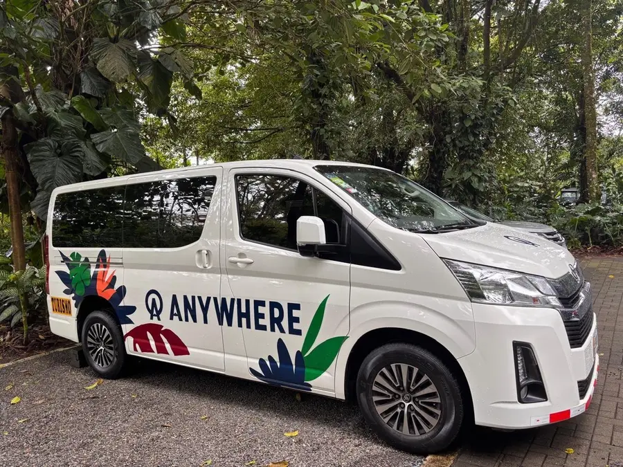
- Your driver meets you as you walk out of Liberia arrivals, with a sign bearing your name.
- Safe, friendly, English-speaking drivers with the credentials for tourist transport, arranged by Anywhere Costa Rica (IATA and ASTA accredited).
- Modern, spacious, air-conditioned vans.
- Up to an hour of stops is included: groceries, cold drinks, photos or lunch on the way.
- 24/7 in-country support by phone, text and WhatsApp.
Frequently asked questions
How far is Tamarindo from Liberia airport?
About 65 to 77 km on paved roads. The drive typically takes 1 hour 15 minutes to 1 hour 30 minutes, and up to 2 hours in peak traffic. The road is reliable all year.
How long is the drive from Liberia airport to Nosara?
About 100 km and 2 to 2.5 hours. The road is paved most of the way, but the last stretch into Nosara is gravel and dirt, which gets rough in the rainy season (May to November). Sámara, just south, is about 105 km and 2 to 2 hours 15 minutes on paved roads.
How far is the Papagayo Peninsula or Playas del Coco from Liberia airport?
They're the closest beaches to the airport. Playas del Coco, Playa Hermosa and Ocotal are 20 to 35 km away, 30 to 45 minutes. The Papagayo Peninsula resorts are 25 to 45 km away, 30 minutes to an hour depending on which part of the peninsula you're staying on.
How long does it take to get from Liberia airport to Santa Teresa?
4.5 to 6 hours. Overland through the Nicoya Peninsula takes about 4.5 to 5.5 hours; going via the Puntarenas–Paquera ferry takes 5 to 6 hours, including a crossing of about 70 minutes, and peak-season queues at the ferry can add 2 to 3 hours. The last 20 km or so are notoriously rough. It's a travel day, so plan to arrive in daylight.
Is it safe to drive in Guanacaste at night?
We don't recommend it. It gets dark around 6 p.m. all year, most rural roads are unlit, and the back roads of the Nicoya Peninsula and the road around Lake Arenal are narrow and winding. Time long drives to finish before dark. If you land in the afternoon and have a long way to go, spend your first night near the airport or at one of the closer beaches.
Do I need a 4x4 in Guanacaste?
Not for the main routes. The roads from Liberia airport to Tamarindo, Flamingo, Conchal, Coco and Papagayo are paved, and a normal car can manage the Las Pailas entrance to Rincón de la Vieja. A 4x4 is worth having from May to November for Nosara, the gravel road between Nosara and Sámara, the Santa María sector of Rincón de la Vieja, Río Celeste and the last stretch into Santa Teresa.
Can I visit Rincón de la Vieja or Río Celeste on a day trip from the beach?
Rincón de la Vieja, yes: it's 1 hour 15 minutes to 1 hour 30 minutes from Playas del Coco and 30 to 45 minutes from Liberia town. From Tamarindo it's about 2 to 2 hours 15 minutes each way, which makes for a long day. Río Celeste is an easy day trip from Liberia (1 hour 15 minutes to 1 hour 30 minutes), but from Tamarindo it's 2 hours 40 minutes to 3 hours each way. Most people find it better to stay a night near the park or stop there on the way to La Fortuna.